Good morning, everyone
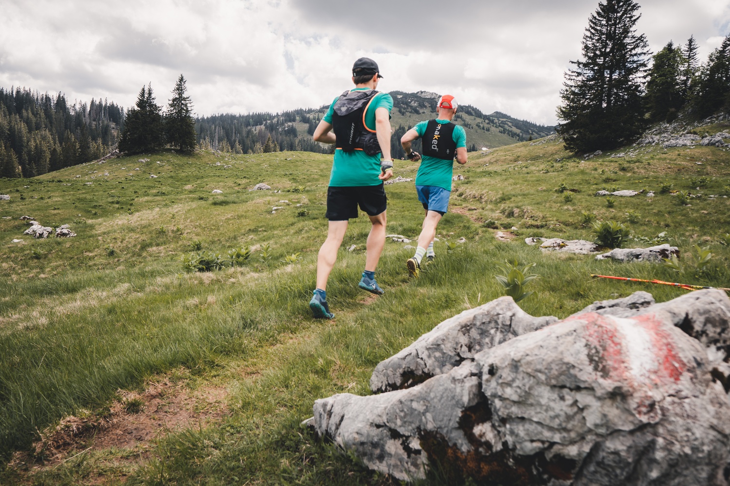
Rhythmic, easy, beautiful and (mentally) relaxing tour with a magnificent view of the Ötscher.
- Fitness level required:3/6
- Overall experience:5/6
- Scenery:5/6
- Technical difficulty:1/6
- Lowest point
- 842 m
- Highest point
- 977 m
Rhythmic, easy, beautiful and (mentally) relaxing tour with a magnificent view of the Ötscher.
With a few exceptions, the route leads along forest roads to Ötscherwiese and Raneck. Shortly before the highest point, the forest offers a fantastic panoramic view of the Vaterberg. Where cross-country skis are used in winter, this beautiful trail running route leads in summer.
High-alpine terrain!
1. Please avoid the trails during nighttime and twilight hours (when animals are foraging).
2. Remain calm and mindful; avoid contact with grazing livestock.
3. Be considerate of the flora and fauna, and treat the people working here, nature, and the animals with respect.
4. Pay attention to general warning signs (e.g., “Restricted Area” signs). Respect fences and close gates behind you.
5. Exercise caution during extreme weather; seek shelter or turn back if necessary.
6. Please take your trash with you when you leave.
Trail running shoes, possibly trail running poles. Trail running backpack with snacks and a first-aid kit, emergency blanket, cell phone, and protection from rain and sun.
Combined with the village loop, this makes for a lovely trail running outing where you always stay close to town.
Recommended period
J
F
M
A
M
J
J
A
S
O
N
D
Leider können wir Ihnen zum jetzigen Zeitpunkt keine Wetterdaten für den Ort anzeigen.
Ybbstaler Alps Tourism Association
Göstling 46/2
3345 Göstling on the Ybbs
www.ybbstaler-alpen.at/trailrunning
info@ybbstaler-alpen.at
43-5-93049
Letzte Änderung: 4 Aug 2026