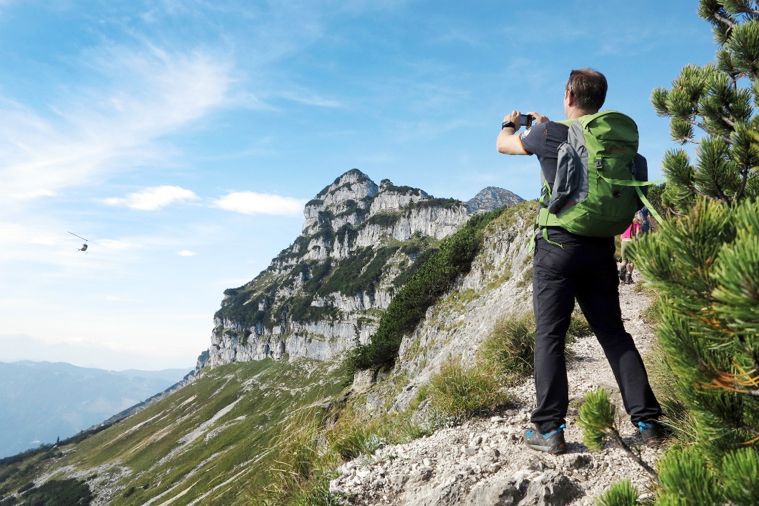
Lackenhof - Raneck - Rauher Kamm - Ötscher summit - Ötscher shelter - Lackenhof
Lackenhof - Raneck - Rauher Kamm - Ötscher summit - Ötscher shelter - Lackenhof
Hiking tour Starting from Weitental, valley station of the Ötscher double chairlift
High alpine demanding Ötscher ascent as a round tour. Marked route without belays. Only for experienced, sure-footed mountain hikers with a head for heights.
- Starting point of the tour
- Weitental, valley station of the Ötscher double chairlift
- Tour destination
- Ötscherschutzhaus – from here, you can travel back to the lower station in comfort on the chairlift.
- Fitness level required:6/6
- Overall experience:6/6
- Scenery:6/6
- Lowest point
- 842 m
- Highest point
- 1893 m
High alpine demanding Ötscher ascent as a round tour. Marked route without belays. Only for experienced, sure-footed mountain hikers with a head for heights.
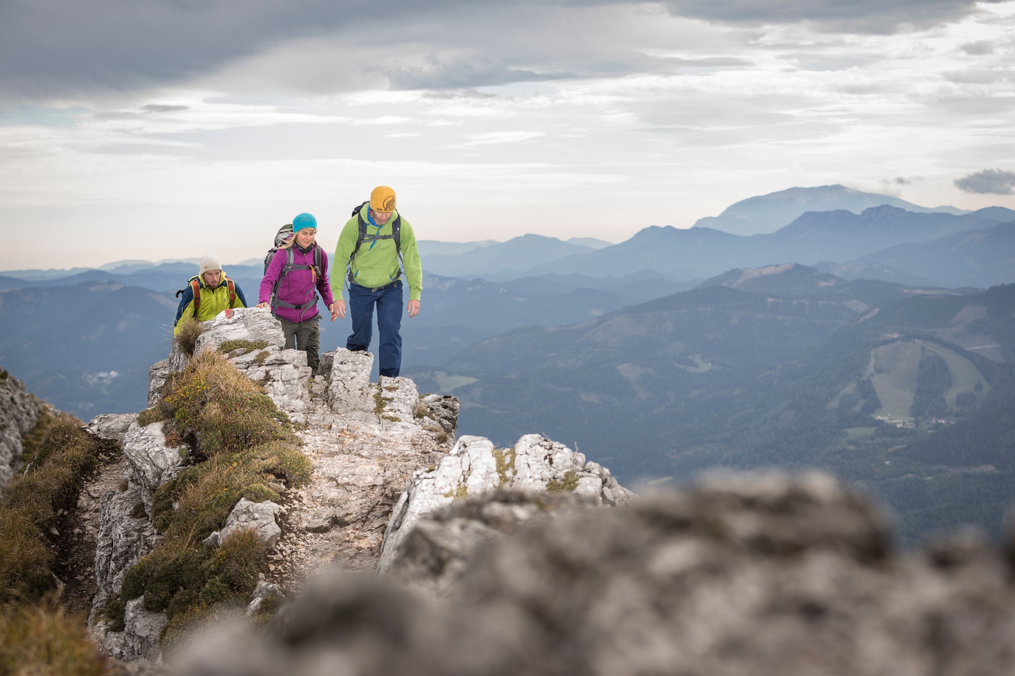
After a "quiet" start along forest roads and hiking trails, you reach the ridge of the Rauhen Kamm after the ascent. Safe and above all dry weather conditions are a prerequisite here. Especially dangerous with old snow in early summer! Climbing passages and exposed, steep passages alternate again and again - only after the exit does it become easier again and it is another 20 minutes along the high plateau on a hiking trail to the summit.
Descent via the (family) hiking trail and via Hüttenkogel, Schutzhaus and Riffelsattel back to the starting point.
Mountain rescue: 140
International emergency number: 112
Please check in advance for any trail or road closures in the Naturpark Ötscher-Tormäuer. These can be found at https://www.naturpark-oetscher.at/aktuelles-top-informiert-im-naturpark
Sturdy mountain footwear, rain protection, provisions, possibly poles, first aid, mobile phone
Rauher Kamm route: From the parking lot in Weitental to the Ötscherwiese and further to the Ranecksattel (approx. 1 hour). At the Bärenlacken saddle (approx. 1 hour), a narrow path heads south, first flat, then steep with many hairpin bends to the northeast ridge. Continue through dwarf pine corridors to the entry of the Rauher Kamm (1533 m), ascent on narrow ledges and rugged rock steps to the subpeak of the Ötscher. Then a pleasant hike across the summit plateau to the Ötscher summit.
Then descent to the Ötscher shelter (approx. 1.5 hours) and further via Riffelsattel back to the starting point. Alternatively, from the shelter, take the chairlift downhill to Lackenhof.Valley station Gr. Ötscher – parking fees (these are waived with lift ticket or booking of hiking taxi (link: www.oetscher.at/wandertaxi)
A1 exit Ybbs, Erlauftal federal road B 25 to Gaming and then on to Grubberg. Turn left towards Langau and Lackenhof.
By train to Scheibbs, bus lines of VOR to Lackenhof: www.vor.at or 0800/22 23 24
Bring enough provisions! No refreshment spot until the shelter!
Recommended period
J
F
M
A
M
J
J
A
S
O
N
D
Leider können wir Ihnen zum jetzigen Zeitpunkt keine Wetterdaten für den Ort anzeigen.
Ybbstaler Alpen - Tourism IG
+43 5/93049
Naturpark Ötscher-Tormäuer
T +43 2728 / 21 100
Letzte Änderung: 22 Sept 2026