Ötscher circular hiking trail
Ötscher circular hiking trail
Hiking tour Starting from Laubenbachmühle station
Long-distance hiking trail around the Ötscher (1893m) and through the Ötscher-Tormäuer Nature Park. A truly hiking wonder over seven to ten stages.
- Starting point of the tour
- Laubenbachmühle station
- Tour destination
- Laubenbachmühle station
- Fitness level required:6/6
- Overall experience:6/6
- Scenery:6/6
- Hiking difficulty:3/6
- Lowest point
- 383 m
- Highest point
- 1626 m
Long-distance hiking trail around the Ötscher (1893m) and through the Ötscher-Tormäuer Nature Park. A truly hiking wonder over seven to ten stages.
The Ötscher circular hiking trail leads in several stages over the most scenic points in the region, through the most impressive gorges and trenches and past Lower Austria's most beautiful waterfalls.
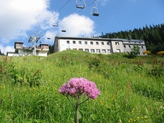
The first section gives an impression of the foothills of the Alps, from the Hochbärneck you can enjoy the wonderful distant views and you enter more alpine terrain and the heart of the region - the Ötscher-Tormäuer Nature Park and get closer and closer to the Ötscher.
The almost inconspicuous summit of the Gemeindealpe offers one of the best viewpoints of the Pre-Alps and the Kalkalpen region. Lake Erlaufsee, Mariazell and Mitterbach lie at the hiker's feet.
From Mariazell via the Via Sacra trail, you immerse yourself in the Ötschergräben at the Erlaufstaussee lake in Mitterbach, whose landscape is characterized by gorges and trenches and is therefore also known as the "Grand Canyon of Austria".
Via Wienerbruck and Annaberg, the route takes you close to the Mariazell Railway (Himmelstreppe) to tranquil Puchenstuben.
very good hiking equipment (footwear, clothing, etc.), provisions, first aid
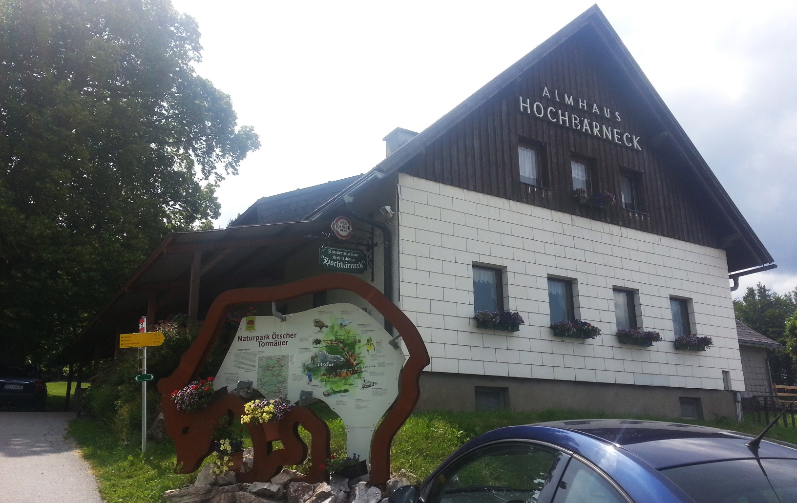
The starting point of the Ötscher circular hiking trail is the Laubenbachmühle station of the Mariazellerbahn (533m). We cross the tracks towards Geißreith and reach Pernarotte after a small saddle. Turn left and briefly continue on the federal road to then enter the Höllgraben after the Boding stop. We follow the signposted legend hike towards Schlagerboden (keep left) and reach a fork where paths lead to the farms Wegscheid and Staudach. Here we turn right onto trail 652 to reach the Mostheuriger Höbarten. We stay on the slightly ascending trail (652) towards Schindelegg. We cross several long-distance hiking trails and continue straight ahead to Rainstein (758m). From there, steeply downhill through the Bodinggraben along trail 05 to St. Anton an der Jeßnitz (400m). Signposts opposite the inn "Jeßnitztaler Stubn" guide us on the asphalt road through Reifgraben and past Antonisee. Up to Schaufelmühl and shortly after, turn left onto a cart path going steeply uphill through Schaufelreith to the alpine meadows of Hochbärneck to the alpine hut (954m).
We follow the forest path east towards Sulzbichl and past the "Talbauer" to the nature park entrance Treffling (616m). Here we take the trail towards Trefflingfall and follow the stream to the Trefflingfall (474m). We turn left to the Toreckklamm and shortly after turn right onto the steep Kirchensteig to Nestelberg (744m). From there it goes steeply to the hamlet Gsoll (960m) and follow the forest road to the former Nestelbergsäge (759m). We turn left towards Bärenlacken. Upon arrival, we take trail 277 and follow the road further to the "Rothschild hunting lodges" at Raneck. Keep left and cross the Ötscher meadow and past the nature park entrance Weitental to Lackenhof (810m).
From Lackenhof, it goes steeply uphill to the Ötscherschutzhaus (1418m), although this section can also be covered by chairlift. On foot, the path (277, 05, 06) follows the Riffelboden (1050m) and Riffelsattel (1283m). From Riffelsattel, there is a path to the Ötscherschutzhaus and the Hüttenkogel (1526) and as an additional (detour) the summit hike to the Ötscher (1893) (approx. 3.5 h for Riffelsattel - shelter - Ötscher - return).
From Riffelsattel, we follow trails (622, 05, 06A) towards Feldwiesalm, initially uphill towards the summit of the Little Ötscher (1552m), then along its east flank. We walk on the forest road to Molterboden (1260m) and follow the markings towards Feldwies to Feldwiesalm (1312m). We follow the signposts to Gemeindealpe and stay on the marked path (622, 05). At the hut "Auf der Brach" (1468m) and the small cross of the "Iron Lord", the path briefly descends and then ascends to Gemeindealpe (1626m). From the mountain station or the Terzerhaus, the descent to Erlaufsee - following trail 05 - goes steeply downhill through the forest. Upon reaching the lake, turn right towards "Lindenhof" and "Seewirt" to the west shore.
Across the south shore of Erlaufsee - keeping on the marked hiking trail 06A - you reach the Erlauf bridge and the restaurant "Herrenhaus". Then continue towards Mariazell along the "Museumstramway" to the basilica. From Mariazell (868m), we walk via Schießstattgasse, Buschniggweg to the Bürgeralpe ski slope and the pilgrims' route of the Via Sacra or the Sebastiani rosary path to Mitterbach (789m). In Mitterbach, we reach the nature park entrance and enter the Ötschergräben area. Trail 06B leads us along the educational trail "Water path" past the Erlauf reservoir and the forester's house "Hagengut" towards Ötscherhias. At the Mühlbach crossing, we turn left towards the Vorderötscher shelter via the forest road "Ötscherstraße" (trail 11b) and shortly after pass the memorial stone "St. Johann in der Wüste". After about 2 hours from Mitterbach, we reach the Vorderötscher shelter (888m).
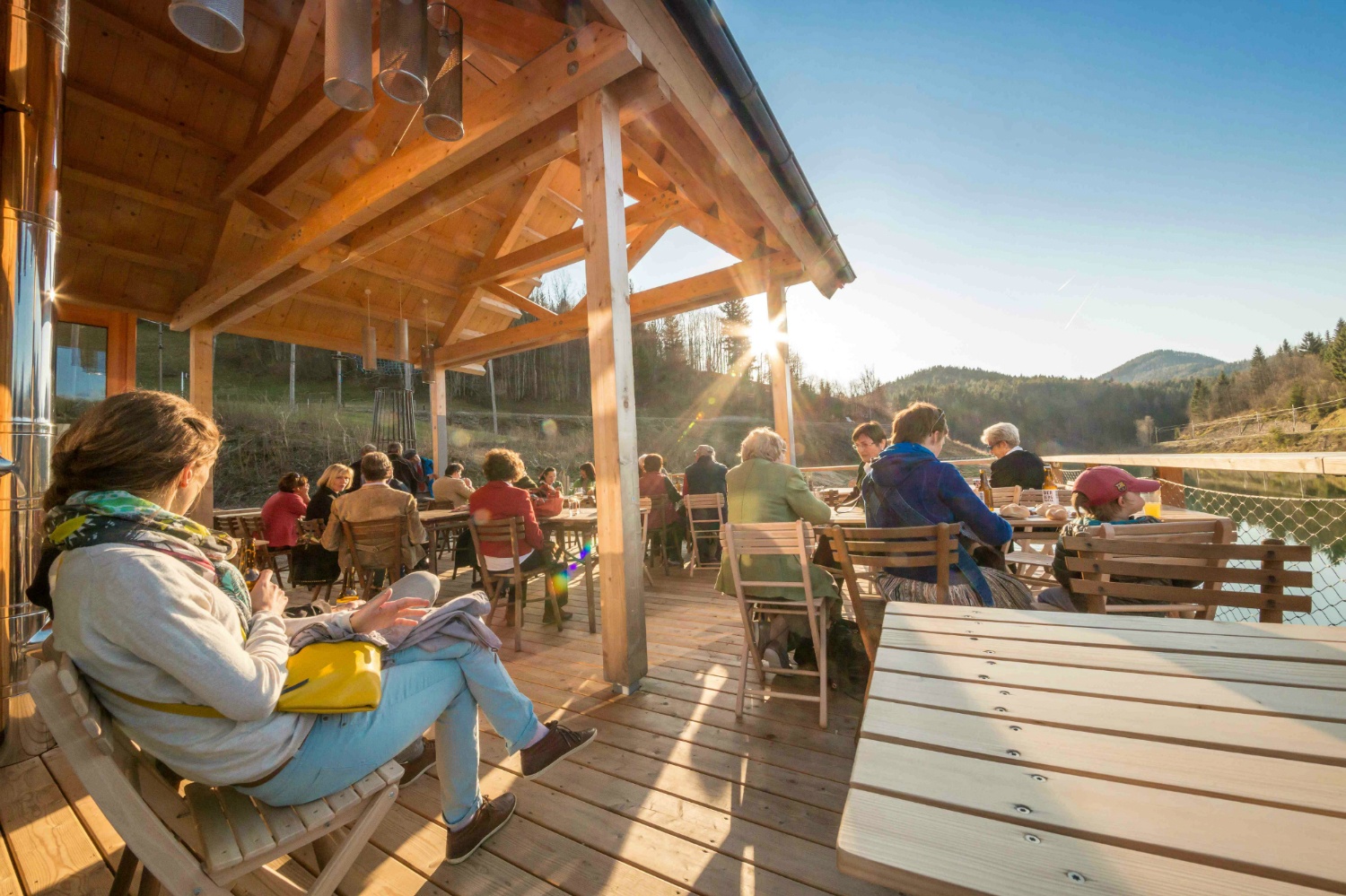
From the shelter, the path goes through the Greimelbachgraben and Greimelsteg towards Schleierfall. The fall is not on the path, but a short detour is worth it (20 minutes). Back from the detour, we continue eastwards (622, 06B) and reach the Moissensteg (707m). Past the Mirafall, you arrive at the refreshment stop "Ötscherhias" (680m). It continues through the Vorderen Ötschergräben next to the Hollerbrand walls to Stierwaschboden (622m) and the Wienerbruck hydroelectric power station. We head towards Wienerbruck and reach the Lassingfall. Further, we follow the path to the "Ötscher base" at the nature park entrance Wienerbruck (795m).
From the Ötscher base, the path 622 goes towards Joachimsberg (878m) and further through the Lassingrotte to the district Sägemühle. We reach Annaberg (976m) and turn left at the small church at the lift. After a short section downhill, continue right towards "White Cross" to the next lift line. Following the markings past the Waldbauer to the White Cross (1031m). Turn left to Hennesteck (1334m) and the next stop - Anna Alm (1300m) - is reached.
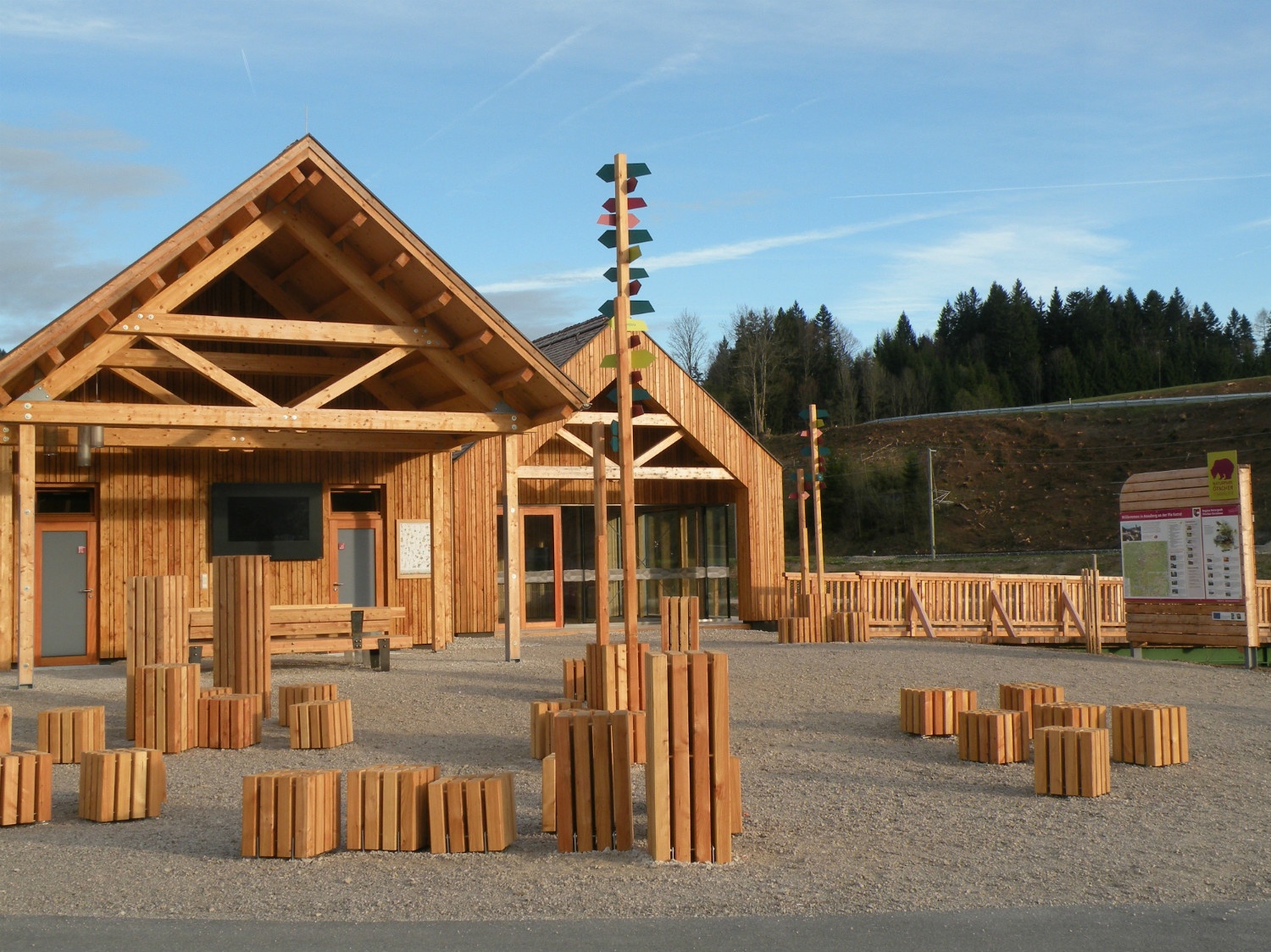
We follow the newly created path with the blue markings to Wastl am Wald to the parking lot. Turn right briefly north on the road before turning left into the forest. At the former inn Wastl (1006m), we follow the signage to Gösing (890m) through the gorge. Before Gösing, at a fork in front of a chapel, turn right to Puchenstuben and follow the forest road to the "Berggasthaus Turmkogel" (1108m). Continue along the railway hiking trail, cross the federal road once and reach Puchenstuben (868m). Here, at the church, turn right steeply through the forest, then left and again through the forest, going downhill towards Laubenbachgegend. Finally, follow the markings back to the Laubenbachmühle station.
At the parking lot (free) opposite the Laubenbachmühle station.
By car directly to the Mariazellerbahn station in Laubenbachmühle.
By Mariazellerbahn from St. Pölten to Laubenbachmühle station, www.mariazellerbahn.at
Hochbärneck lookout tower
Hike up the Hüttenkogel (1526m, +1h)
Climb the Ötscher summit (1893m) (+ 3.5h extra time)
Recommended period
J
F
M
A
M
J
J
A
S
O
N
D
Leider können wir Ihnen zum jetzigen Zeitpunkt keine Wetterdaten für den Ort anzeigen.
Mostviertel Tourism
Neubruck 2/10
3270 Scheibbs
www.mostviertel.at
Letzte Änderung: 3 Aug 2026